
Adam Moore is an Emergency Manager with a Bachelor's from Millersville University and is currently pursuing his Master's. He works as an SAU Analyst with VDEM.
Virginia
Joined September 2015
- Tweets26.4K
- Following636
- Followers5.1K
- Likes5.2K




Pinned Tweet
Was able to capture the Partial Solar Eclipse in Sumerduck, VA this morning. #SolarEclipse #solareclipse2021 #vawx @capitalweather @StormHour @hbwx @spann @wxbrad

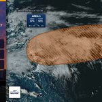
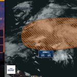
A broad low forming along a remnant front a few hundred miles south of Bermuda has a 30% chance to develop in 48 hours and a 50% chance in 7 days. Conditions may allow gradual subtropical characteristics through this weekend, then become unfavorable early next week.

Low pressure may form within 1 day a few hundred miles south of Bermuda, then slowly drift east. It has a 20% chance to develop in 48 hours and a 40% chance in 7 days, but conditions turn unfavorable by early next week.

Low pressure may form along a weakening front a few hundred miles south of Bermuda within a day, with 20% chance of development in 48 hours and 40% in 7 days. It could gain some subtropical traits late this week or weekend, then conditions turn unfavorable early next week.

Dense Fog Advisory is in effect for Warren, Rappahannock, and Northern Fauquier until 10 AM EDT this morning. Visibility may drop to 1/4 mile or less in dense fog, making driving hazardous.

Dense Fog Advisory is in effect for Extreme Western Allegany, Central and Eastern Allegany, & Others until 10 AM EDT this morning. Visibility may drop to 1/4 mile or less in dense fog, making driving hazardous.


A Frost Advisory has been issued for Fluvanna, Prince Edward, Cumberland, Goochland, Caroline, Nottoway, Amelia, Powhatan, Western Louisa, Eastern Louisa & Western Hanover until 9:00 AM EDT 10/26/26. Temps near 34°F may form frost; cover sensitive plants.

A Frost Advisory has been issued for Carroll, Northern Baltimore, Cecil, & Others in MD and VA from 1 AM to 9 AM EDT Monday. Temps near 33F may form frost, especially in valleys/low-lying areas; cover sensitive plants to prevent damage.

Frost Advisory has been issued for Central and Southeast Howard and Central and Southeast Montgomery Counties in MD and Orange, Spotsylvania, Fairfax, Stafford, and Madison Counties in VA until 9 AM EDT Sunday. Temps near 33F may form frost, harming uncovered plants.

Freeze Warning has been issued for Frederick, Carroll, Northern Baltimore & Northwest Harford until 9 AM EDT Sunday. Sub-freezing temps as low as 30F may cause frost/freezing that can kill crops and damage unprotected outdoor plumbing.
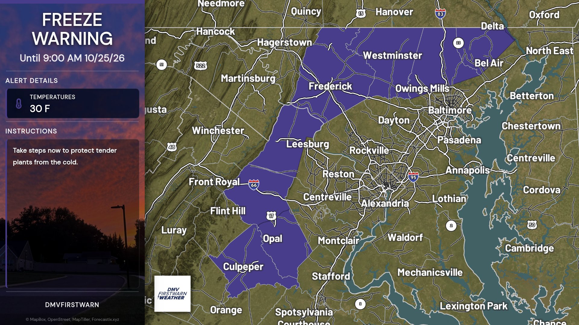
Frost Advisory is in effect for Frederick, Carroll, Northern Baltimore & Others from 1 AM to 9 AM EDT Sunday, with temps down to 33F causing frost. Cover sensitive outdoor plants to prevent damage.

Post-Tropical Cyclone Josephine is about 235 miles east-southeast of Nantucket Massachusetts. Winds 65 mph. Josephine becomes a powerful extratropical low. A gradual turn toward the east is forecast on Friday and into the weekend. Moving northeast at 17 mph.

Subtropical Storm Josephine is about 200 miles southeast of Nantucket Massachusetts. Winds 65 mph. Josephine moving northeastward across the northwestern atlantic. Expected to become a powerful extratropical cyclone this afternoon or tonight. Moving northeast at 12 mph.

Subtropical Storm Josephine is about 195 miles south-southeast of Nantucket Massachusetts. Winds 65 mph. Josephine accelerating northeastward away from the united states. Expected to become a powerful extratropical cyclone. Moving northeast at 13 mph. As of Oct 22 at 5:00 AM EDT.

Subtropical Storm Josephine is about 245 miles south of Nantucket Massachusetts. Winds 65 mph. Josephine expected to move northeastward away from the united states on thursday. Forecast to become a powerful extratropical cyclone. Moving north-northeast at 6 mph.

Subtropical Storm Josephine is about 265 miles south of Nantucket Massachusetts. Winds 65 mph. Subtropical storm Josephine forms. Forecast to move northeastward away from the united states. The storm should turn northeastward by tomorrow with a large increase in forward speed.

Storm-force low a few hundred miles off the mid-Atlantic U.S. coast is better organized; a subtropical storm could form this afternoon or tonight as it accelerates NE. High winds, coastal flooding, and dangerous surf are expected. 70% in 48h/7d.

Offshore the mid-Atlantic, a storm-force non-tropical low has gained subtropical traits and has a 50% chance to become a subtropical storm tonight or early Thu. High winds, coastal flooding, and dangerous surf may affect parts of the U.S. East Coast.

Off the NC coast, a storm-force non-tropical low tied to a front has showers and thunderstorms mainly west of its center. 40% chance of development in 48 hours and 40% in 7 days. High winds, coastal flooding, and dangerous surf may affect parts of the U.S.

