

Adventures in travel, genealogy, photography, graphics and cartography from an Englishman camped out in Maryland. Find me on Facebook at http://t.co/wP5cWQ8voh
Maryland
Joined January 2015
- Tweets670
- Following312
- Followers268
- Likes141




Framing Places retweeted

Beaulieu To Buckler’s Hard – A New Forest Walk baldhiker.com/2020/08/11/bea… by @emsparkley
Virtual reality can bring ancient cities back to life and improve conservation buff.ly/32BlJnN

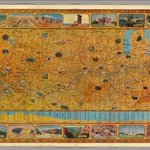
A Gorgeous 1929 Map of the U.S. Given to the First Transcontinental Air Travelers buff.ly/2RWa3aq #cartography #travel

1


Exploring Maryland: A Walk Around Lake Artemesia buff.ly/2AvPKJw #photography #travel #dc #washingtondc #maryland #md


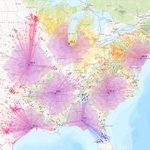
GIS has become ubiquitous; innovations and disruptions are emerging everywhere buff.ly/2GmNSTY #gis #cartography

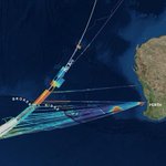
Fascinating - MH370 Search Mission Yields Map with Lasting Purpose buff.ly/2M5RBs8 #cartography #gis

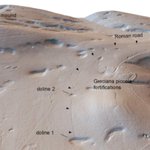
Neat use of GIS technology - LiDAR Reveals an Ancient Roman Highway | RealClearScience buff.ly/2urixhi #gis #History #cartography


Fun stuff - historic places in old photos - Entering Missouri buff.ly/2sAmtZx #history #photography #places

3
Every Day, This Satellite Company Takes A Snapshot Of The Entire Planet buff.ly/2x5ugDo #cartography #GIS

Framing Places retweeted

Whenever I research a region or city I have a quick look at Google Earth's time lapse: buff.ly/2gIG4zx
Framing Places retweeted

A celestial map from the 17th century, by the Dutch cartographer Frederik de Wit


Framing Places retweeted
What an amazing piece of work! This interactive globe shows the ancient earth throughout #history. Great way to better understand plate tectonics. A must for everyone interested in #geology and #geography. Source: buff.ly/2t2kD6x


Framing Places retweeted

The Moll #Atlas shows how the world appeared to mapmakers in the 1700s: go.usa.gov/xneJ9
