

Weather Information No Longer Provided
Memphis,TN
Joined January 2013
- Tweets4.9K
- Following633
- Followers469
- Likes405


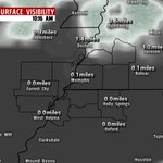
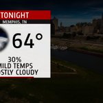
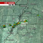


Temperatures warmed into the upper 60s today, but you can see cold front towards out west. Tonight temps should fall into the mid 30s.

It sure is on the chilly side this morning. Most locations are currently in the mid to lower 30s. We will warm into the low 60s later today.

Showers should begin to push out of the region later this evening. Overnight lows should fall into the upper 30s and lower 40s.

1
Showers and a few thunderstorms continue to push towards the area. Heavy rain and lightning will be the main concerns

Temperatures this morning have warmed in the upper 60s and lower 70s. We should warm into the mid 70s this afternoon. Severe WX poss 2night.

1
Here's the latest blog update on the severe weather chances tomorrow evening. Blog: mem9weather.com/severe-weath…
Visibility remains low across the region this morning. Be sure to take your time if you come across areas with reduced visibility.

Temperatures will only fall a few degrees tonight. Tomorrow we once again warm into the lower 70s. A few sct'd showers are expected.

Sct'd showers have developed across the metro this evening. Heavy rain will be the main concern. More showers are possible 2night.

Not as cold tonight; with temperatures falling into the mid 20s. Tomorrow we finally get above freezing; as temps warm into the mid 40s.

Temperatures this morning are brutally cold. Many area fell to single digits last night. We should warm to right near 31 degrees today.

A bitter cold night is expected tonight across the region. Most locations will fall into the lower teens and upper single digits.

Temperatures this morning are in the teens. You will definitely need to bundle up if you plan on heading outside today. Highs in the 20s.

2

Another round of snow is approaching and pushing northeast. Locations South of I-40 could pickup another half inch to an inch of snow.

1
Snow showers will begin to diminish later this morning. Travel will remain dangerous throughout the day. Report: youtube.com/watch?v=qJp9XTQf…