

20 | ✝️ | Central Alabama Weather | National Wx: @weathertrackus
Alabama
Joined September 2016
- Tweets22.7K
- Following115
- Followers3.9K
- Likes13.9K


Our cool/mild pattern continues this week, and for the rest of the month. Rain will return in early November, with some warmer overnight temps.
I have very strong doubts about us being in the 80s in Bham at any point in early November, especially through persistent clouds/rain.


Temperatures in the mid-70s across the Birmingham area today, with nights in the 40s/50s.
This pattern will continue into next week, with no rain until early November.


For the Birmingham area:
High temperatures in the mid-upper 70s, Low temperatures in the upper 40s all week.
We'll be bone dry, likely through the remainder of October, with the next chance of rain sometime in early November.


If there was one good thing Isaias did, it was bring some good rain to Alabama and Georgia.
There is a non-zero chance we go the rest of October without measurable rain across the region. For Louisiana & Mississippi, the drought situation is worse.


I didn't know Jared very well personally, but I always enjoyed seeing his retro themed graphics in the aguacero Discord, and seeing some of his work through @chswx and CWG...
Rest In Peace, Jared☹️


Star retweeted

We're live tracking Isaias as it barrels down on the Gulf Coast. Stay tuned for live coverage starting this evening! xitter.cf/i/broadcasts/1nxnRBlBB…
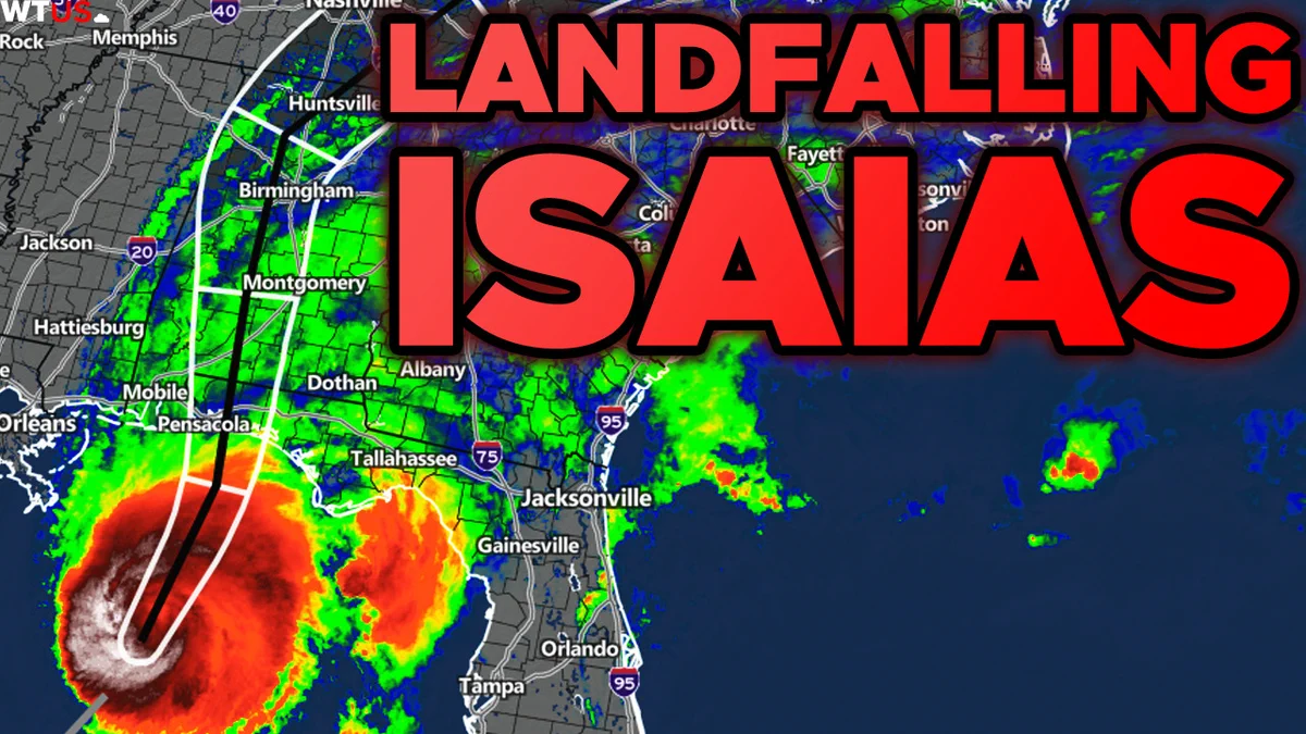
Honestly impressive that this is what a near (or already) Category 4 storm looks like. Although not surprising given shear/dry air impacts.
Looks like a few other ugly MHs (like Idalia 2023)


I missed the peak of the sunset, but just incredible bizarre but also cool looking sunset produced by Isaias’ outflow over Central Alabama this evening.


Hurricane + Solar Flares...
I've played this game before.

Moderate R2 radio blackout in progress (≥M5 - current: M6.86)
Follow live on spaceweather.live/l/flare

