The true size of States, Countries, Continents through their maps. There's more to the world than you think. Explore more on Telegram https://xitter.cf/t.co/UAW8xWpeWM
Global
Joined November 2025
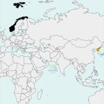
No way! Just ONE country separates Norway and North Korea.
3
3
2
19
7,426
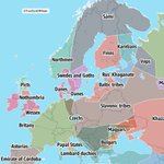
A simplified map of Europe in 800
2
14
2,904
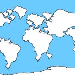
The most accurate world map according to Americans
54
110
23
2,465
443,714
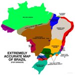
An Extremely Accurate Map of Brazil
2
3
41
4,942
Map of the world but it's all Brazil
1
2
11
1,327
Map of all NSFW subs
1
17
7,468
Ethiopia, the Red Sea and Saudi Arabia, featured in a 1553 Atlas of the World in 33 Maps.
1
2
1
65
10,762
Satirical map of Europe, 1914
1
4
1
163
21,208
Land claims of the 13 original states, 1783
5
6
1
106
21,148
The true size of countries (using an equal-area projection)
2
3
1
28
4,998
Japanese pictorial map of South America, 1932.
1
5
1
18
2,348
📸 The most photographed places on Earth
8
38
10
653
89,649
Greenland without its ice sheets
1
3
25
2,821
A Map of Europe Made of National Football Team Jerseys
5
29
552
20,922
How to say ‘Sea’ in Europe
2
5
2
84
10,958
World’s largest lakes side by side.
67
56
16
1,501
641,055
The Persian language concentration in the 17th century
3
15
160
9,002
Satarical map of Europe, 1952
4
46
6
1,416
139,764
Economic size of every country in the world in 1500 vs 2018.
7
17
1
300
65,591
Japanese pictorial map of Asia, 1924
9
65
4
463
55,854