

WCDR works together with local agencies and the City of Ottawa to ensure that we are able to help all of our communities prepare for and respond to disasters.
West Carleton, Ontario
Joined April 2019
- Tweets365
- Following145
- Followers156
- Likes192

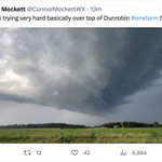


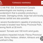

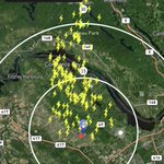


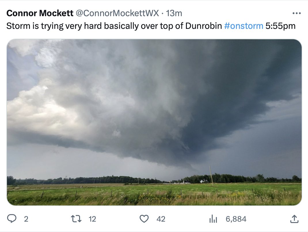
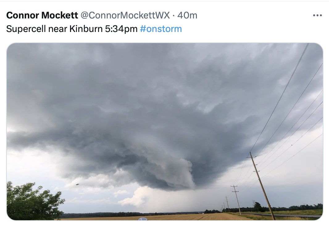
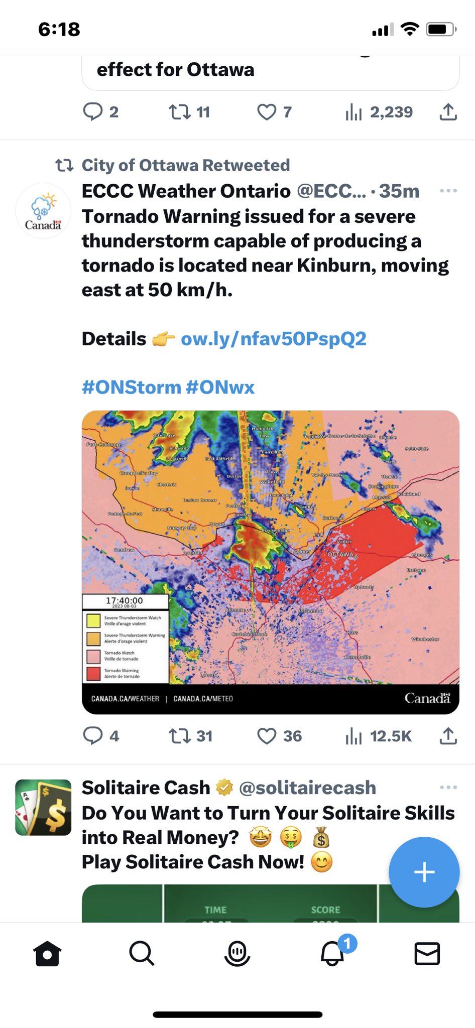


Tornado warning

7:00p TORNADO WARNING REPLACES SEVERE THUNDERSTORM WARNING by Environment Canada
DATE: Friday, July 28, 2023
(Locations listed below description)
Updated or ended by 7:59 P.M. Edt.
At 7:00 P.M. Edt, Environment Canada meteorologists are tracking a severe thunderstorm that is possibly producing a tornado. Damaging winds, large hail and locally intense rainfall are also possible.
A severe thunderstorm capable of producing a tornado is located near Arnprior, moving southeast at 60 km/h.
Hazard: Tornado, 90 km/h wind gusts and nickel size hail.
Locations impacted include: Carp, Kanata, galetta, kinburn, Marathon, South March, stittsville and hazeldean.
This is a dangerous and potentially life-threatening situation. If you hear a roaring Sound or see a funnel Cloud, swirling debris near the ground, flying debris, or any threatening weather approaching, take shelter immediately.
Go indoors to a room on the lowest floor, away from outside walls and windows, such as a basement, bathroom, stairwell or interior closet. Leave mobile homes, vehicles, tents, trailers and other temporary or free-standing shelter, and move to a strong building if you can. As a last resort, lie in a low spot and protect your head from flying debris.
Lightning kills and injures canadians every year. Remember, when thunder roars, go indoors!
Tornado warnings are issued when imminent or occurring thunderstorms are likely to produce or are producing tornadoes.
Emergency management Ontario recommends that you take cover immediately if threatening weather Approaches.
Please continue to monitor alerts and forecasts issued by Environment Canada.
To report severe weather in Ontario, send an email to [email protected] or tweet reports using #ONStorm.
For more information: Https://www.Ontario.ca/page/….
NEW:
- Kanata
- Orleans
- Ottawa North
instantweather.ca/2023/07/28…


WCDRelief retweeted

🌩️ TORNADO UPDATE - no damage in #BarrhavenEast, the damage is limited to Barrhaven West ward. A family reunification centre has been set up at Minto Rec. (enter via Cambrian only). Please check @DavidHillWard3 for ongoing updates.


If you know anyone affected by the tornado in Barrhaven who is trying to connect with family, the city emergency services have set up a family reunification centre. See below.

WCDRelief retweeted

Reports of a tornado touching down in the area of Umbra Place in Barrhaven. Firefighters & our structural collapse teams have been dispatched to the area.
⚠️Take cover immediately if threatening weather approaches.⚠️ #OttNews – at Ottawa, Ontario


This tweet contains the official Environment Canada Tornado Watch. This means conditions from late morning till late afternoon are right for the formation of tornados. Keep your eye on weather sources in case a Tornado Warning is issued.


WCDRelief retweeted

#onstorm 9:10a TORNADO WATCH ISSUED by Environment Canada
Kingston - Odessa - Frontenac Islands
Tamworth - Sydenham - South Frontenac
Brockville - Leeds And Grenville
City Of Ottawa
Gatineau
Prescott And Russell
Cornwall - Morrisburg
Smiths Falls -...
instantweather.ca/2023/07/13…

Tornado watches are in place for eastern Ontario including our West Carleton area. So far it looks like all afternoon could be risky. Watch the links in this Weather Network tweet.

Stay alert: Thursday's tornadic environment includes Ottawa, Montreal and surrounding regions. #ONstorm #QCstorm theweathernetwork.com/en/new…

There may be severe thunderstorms in our area this afternoon. Remember the rules about what to do if you are caught outside in one. #onstorm


Firesmoke.ca provides useful maps of wildfires and resulting smoke plumes all across Canada.

WeatherBug App is an excellent source of real time weather data and warnings. apps.apple.com/app/id2819402…

WCDRelief retweeted

Coming up this Thursday night (June 29), join us for a climate resiliency community dialogue workshop at the West Carleton Community Complex in Kinburn. It runs from 6:30-8:30pm with @WCDRelief and CAFES Ottawa. RSVP at the link below. eventbrite.ca/e/west-carleto…
