

Senior Geolocator @FaytuksNetwork putting dots on maps. accelerating me. accelerating you?
Joined August 2021
- Tweets523
- Following139
- Followers4.4K
- Likes270


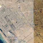




Smoke seen from Yemeni Oil Company facility following Saudi strike in DHAMAR, Yemen
14.587412, 44.378056
@GeoConfirmed
geolocated by a @FaytuksNetwork contributor


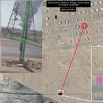
Oil tank ablaze at the Saudi Aramco Refinery, RABIGH, Saudi Arabia
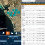
This footage matches the FIRMS data which was noted earlier in the day.
22.723831, 39.025467
POV: 22.726468, 39.048685
@GeoConfirmed @FaytuksNetwork
geolocated by @acceladealer


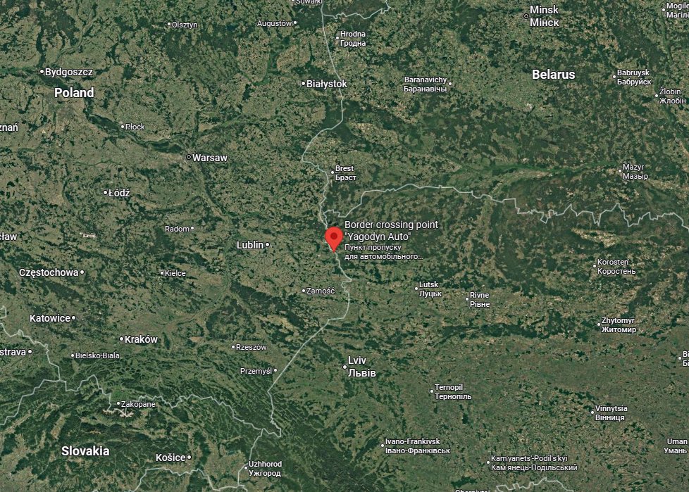
Detonation of a Russian Geran-5 drone at the YAGODIN BORDER CORSSING, Ukraine. The explosion occurred ~1km from Polish territory.
POV: 51.193867, 23.821266
@FaytuksNetwork @GeoConfirmed
geolocated by @Grimm_Intel


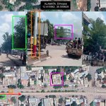
Ethiopian National Defence Force convoy moving north-east along Alamata Road in ALAMATA, Southern Tigray, Ethiopia
12.415562, 39.559828
@GeoConfirmed @FaytuksNetwork @Intelynx
geolocated by @acceladealer

Footage showing oil storage tanks ablaze following a claimed Houthi missile attack at the Aramco Abha Bulk Plant, north of ABHA, Saudi Arabia
18.485593, 42.505660
@GeoConfirmed @FaytuksNetwork @EpicFuryMap
geolocated by @acceladealer


acceladealer retweeted

I think we speak for the whole OSINT community when we say that Google should revert this change immediately. We’ve already seen AI-generated satellite imagery flooding the information space. This is irresponsible and adds nothing of value. Google Earth’s new AI image generation feature needs to be removed.

Tonight I typed just one sentence into Google Earth and put refugees near the Mexican border. Then I planted a nuclear plant in Iran. What on earth is Google doing? Check my latest post here: digitaldigging.org/p/how-to-…
Damage to spherical pressure tanks at the Saudi Aramco oil refinery in ABQAIQ, Saudi Arabia
A large flare can also be seen from the stack.
25.928998, 49.683377
25.926884, 49.683603
@GeoConfirmed @FaytuksNetwork @EpicFuryMap
Sentinel 2 satellite (via @SoarAtlas)
Image from this morning showing a plume of smoke (claimed Houthi drones) from the direction of the Saudi Aramco oil refinery in ABQAIQ, Saudi Arabia
POV: 25.918142, 49.658552
@GeoConfirmed @FaytuksNetwork @EpicFuryMap
geolocated by @acceladealer


Multiple large plumes of smoke seen from the direction of Saudi Aramco Jazan Refinery in Jazan City for Primary and Downstream Industries, Saudi Arabia
POV: 17.323835, 42.404570
@GeoConfirmed @FaytuksNetwork @EpicFuryMap
geolocated by @acceladealer

Fire and a smoke seen on the Kuwaiti side of the Iraq-Kuwait border at the ADBALI crossing, Kuwait
30.082798, 47.702277
@GeoConfirmed @FaytuksNetwork @EpicFuryMap
geolocated by @acceladealer

Destruction of pumping station associated with a waterworks facility near the settlements of BUNJI-YE, Iran
25.91153, 57.27179
@GeoConfirmed @EpicFuryMap @FaytuksNetwork
geolocated by @acceladealer


