

Germany
Joined December 2020
- Tweets52
- Following234
- Followers139
- Likes56




SmartLandMaps retweeted

Smart land maps using indirect surveying is a bit less precise, but it enables much more participation in the process, says @KasparKundert from @maps_land at #CIGOFA3. Learn more: landportal.org/event/2022/10… #GIS @landcoalition @youth_yilaa

SmartLandMaps retweeted

Our institute is looking for a candidate with a background and interest in the areas of #computervision, #webdevelopment, and #GIS for our NRW StartUpTransfer project “SmartLandMaps 2.0”.
Application deadline: April 7, 2022.
bit.ly/3wNox2i
#startup @maps_land
SmartLandMaps retweeted

#WomensLandRights are fundamental human rights. Join the #Stand4HerLand campaign launch in Nairobi or online this #IWD2022 to help make #LandRights a reality for millions of women around the world. Register ➡️ stand4herland.org/join-us-s4… #WomensLand #GenderEquality @Landesa_Global

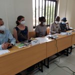
Looking back to a wonderful discussion during our @maps_land workshop today. Thank you so much @youth_yilaa for organizing such a great event.


Getting started with our workshop at Abomey Calavi University together with @youth_yilaa @NELGA_AU @maps_land @KasparKundert

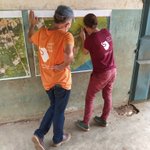
Tracing the final boundary lines with a black marker is the last step in preparing the map for digitization. @KasparKundert


SmartLandMaps retweeted

The map drawn today by the community of Houègoudu (Commune de Zè, Benin) enters the @maps_land digitization and vectorization process. Many thanks to all involved

Bravo bravo!! linkedin.com/feed/update/act… #leavenoonebehind

3
Continuing our work in the rural area of Ze, north of Abomey Calavi. So amazing to see that even without a lot of visible boundaries, the community can easily trace the limits of their land plots.


SmartLandMaps retweeted

Day one: In Benin, we carried out participatory mapping with @maps_land and the sème-podji community. Secure land rights pave the basis for community mapping that is inclusive and participatory.
@CadastaOrg


SmartLandMaps retweeted
Complementing this excellent piece, I'd add: Map whereever you are and involve local communities as @maps_land currently does in Benin


The Mapmaker's Mantra "is presented with the intention of reinforcing ethical behavior in mapmaking." esri.com/arcgis-blog/product… #cartography #maps #gischat @AllenCarroll @deepseadawn @John_M_Nelson @Mark_Cygan @jherries @icawebsite @cartographyGIS


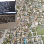
Now, our task is to bring this great community effort paper map automatically into a digital format. #innovation #computervision #AI #geoinformation
The first step is to act like a #drone and "fly" with the digital camera over the map. Afterwards the lines drawn on the map can be automatically extracted with the superior code of @aurioldegbelo. @pix4d #photogrammetry

Yes, we made it - mapping more than 200 parcels in 4 days. A big thanks goes to the great support of @EPOosterbroek @youth_yilaa and to our local team in Seme Podji! And of course to all community members who joined our mapping session. #community #ProudMoment #landrights


SmartLandMaps retweeted

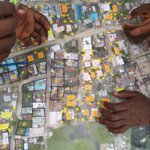
The map is filling up quickly! So great to see that most people can easily identify their parcel on the drone image. #communitymapping #landrights #map @ThisIsPLACE @Kadaster_Int @youth_yilaa @fig_young

Getting ready for another day of #mapping in Seme Podji, Benin. Are we going to meet the challenge to map 200 parcels in our study area?

Thank you for making this point @KarolBoudreaux #landinnovation
"Technology can be a part of the process [increasing access to land] but it is not the solution"
3
Do you know how to identify land tenure challenges? Check out these tools to get more insights! #VCSPDec2021WW @fig_young #tenuresecurity
#landrights
