

Bob Waszak | Veteran Storm Chaser, Forecaster, Weather Enthusiast that will keep you ahead of weather in & around Northern Illinois. DM me for photo/video usage
Somonauk, IL
Joined November 2014
- Tweets72.9K
- Following1.2K
- Followers14.4K
- Likes13.1K



Pinned Tweet
**Not for Broadcast**
Very close preview video of the tornado that lasted 10+ minutes near Creston Illinois around 5:45pm. #ilwx @NWSChicago
I probably bitch so much about this change but living on the far eastern edge of the central time zone makes this awful.


Vikings might be the worst 6-0 team I've ever seen. Truly getting the Ws because of their defense and a little luck. #ilwx


Happy super El-Nino weather pattern. #ilwx


We will be monitoring the beginning of November for a potential severe weather risk across Illinois. All hazards could be possible. #ilwx


Ah yes, the annual cold front that ruins Halloween is on schedule this year it appears. #ilwx

ECMWF 00z from this AM doing well with seeing not only one but TWO cold shots through the first week of November. Expect a roller coast for this time period in terms of temperatures!
You can compare this with other models on the same run by using the comparison tool in @SynopticWX 👀
For late October, we are far behind for leave color and drop for the norm in northern Illinois. A few maples and honeylocus have dropped but that's it. Oaks, most maples, and sycamores are holding up with little to no color with the wet fall and very warm temps. #ilwx


Illinois is the only true core Midwest state and I'll die on that hill. Everyone else has characteristics that are apart of a different territory.


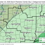
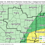
#SPC issues Day 1 Marginal Convective Risk at Oct 16, 0:49z for ILX spc.noaa.gov/products/outloo…

#SPC issues MCD 2380 concerning SEVERE POTENTIAL...WATCH POSSIBLE [watch prob: 40%] [Most Prob: Tornado: 85-110 MPH, Gust: 55-70 MPH]: FAR SOUTHEASTERN ILLINOIS INTO SOUTHERN INDIANA spc.noaa.gov/products/md/202…
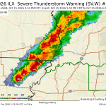
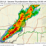
ILX issues Severe Thunderstorm Warning [tornado: POSSIBLE, wind: 60 MPH (RADAR INDICATED), hail: <.75 IN (RADAR INDICATED)] for Lawrence [IL] till 6:30 PM CDT mesonet.agron.iastate.edu/vt…

ILX issues Severe Thunderstorm Warning [tornado: POSSIBLE, wind: 60 MPH (RADAR INDICATED), hail: <.75 IN (RADAR INDICATED)] for Lawrence [IL] till 6:30 PM CDT mesonet.agron.iastate.edu/vt…

#SPC issues MCD 2379 concerning SEVERE POTENTIAL...WATCH UNLIKELY [watch prob: 20%] [Most Prob: Tornado: UP TO 90 MPH, Gust: UP TO 60 MPH]: SOUTHEAST MISSOURI...SOUTHERN ILLINOIS...SOUTHWEST INDIANA spc.noaa.gov/products/md/202…
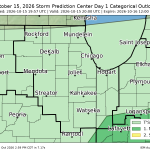
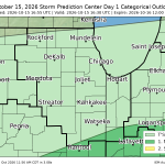
#SPC issues Day 1 Marginal Convective Risk at Oct 15, 19:57z for LOT spc.noaa.gov/products/outloo…

#SPC issues Day 1 Slight Convective Risk at Oct 15, 19:57z for ILX spc.noaa.gov/products/outloo…

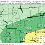
#SPC issues Day 1 Slight Convective Risk at Oct 15, 16:55z for ILX spc.noaa.gov/products/outloo…

#SPC issues Day 1 Marginal Convective Risk at Oct 15, 16:55z for LOT spc.noaa.gov/products/outloo…

#SPC issues Day 1 Slight Convective Risk at Oct 15, 16:49z for ILX spc.noaa.gov/products/outloo…
