

Founder, Basemap Consulting. Fast LiDAR, surveys and cultural resources for energy and development. Drone mapping and inspection. Christian, husband, dad of 3.
Forsyth, GA
Joined November 2008
- Tweets43.7K
- Following3.2K
- Followers10.6K
- Likes77.1K




Pinned Tweet
6 American forts in LiDAR.
The first one is a Civil War star fort in New Mexico. Hard to see in the photo. Easy to see in the bare earth.
Public USGS data. Which fort should we do next?
#LiDAR #History #Forts #Surveying


Daniel Windham retweeted
All 12 forts are in the full video: youtu.be/1LW2rTfM0js
All 12 forts are in the full video: youtu.be/1LW2rTfM0js
While you’re here donate to help us map the biggest lidar dataset in the Amazon rainforest to help find a hidden city
paypal.com/qrcodes/venmocs/5…

Landfill slopes and the perimeter ditch.
Grades on all of it from one flight.
#LiDAR #Earthwork #Surveying

1
10
1,944
A creek running under planted pines.
You can't see it from the air. The bare earth shows it plain as day.
#LiDAR #Topo #Surveying
A creek bend and the gullies feeding it.
Left: drone LiDAR bare earth. Right: the aerial.
#LiDAR #Drainage #Surveying

Headcuts and eroding draws.
If you're designing near these, you want to know where they are.
#LiDAR #Drainage #Surveying

Pits and pads in the Permian.
Every cut and fill, mapped from the air with drone LiDAR.
#LiDAR #Permian #OilAndGas #Surveying
6
910
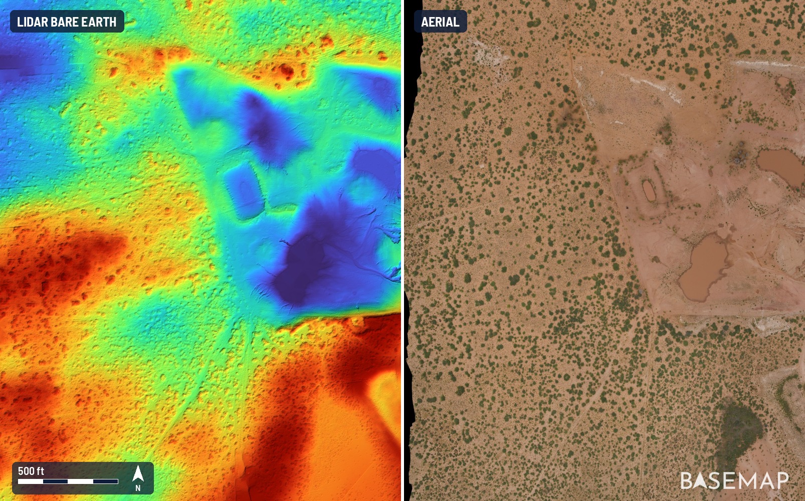
Pads, pits and dunes in one shot.
This is what the ground actually looks like out west.
#LiDAR #Permian #OilAndGas #Surveying
Old farm terraces hiding under the woods.
You can barely see them in the aerial. The LiDAR picks up every one.
#LiDAR #Topo #Surveying
5
699
New 9 minute feature on Dr. Daniel Pierce and Chris Bodine of Terra Incognita Research Institute. Geoglyphs in the Brazilian Amazon, from LiDAR to boots on the ground. These are the archaeologists behind Project GOJIRA. youtube.com/watch?v=UVDHKPFp…


Hundreds of coppice dunes in one shot.
Try surveying that on foot.
#LiDAR #Permian #OilAndGas #Surveying
2
545
Recap of that viral LiDAR post about AI finding lost Maya civilization #lidar #archeology
Real site, not a new discovery. NASA flew this LiDAR in 2013 and the tiles have been public for years. Archaeologists hand-annotated this same tile set in 2020, and a university archive re-released the exact tile in April. It's unregistered, not undiscovered.


My AI agents found an unmapped Maya site in Mexico, using LiDAR data from a NASA dataset.
72 hours from a random thought on vacation to a reply from Mexico's national archaeology institute.
What a time to be alive…
8
581
A ravine hiding under the woods.
Good thing to know about before you lay out a site.
#LiDAR #Topo #Surveying

Grade under a built solar array.
The panels drop out and you get the ground.
#LiDAR #Solar #Surveying
345